01 · Capture
Collect the claim where the land exists.
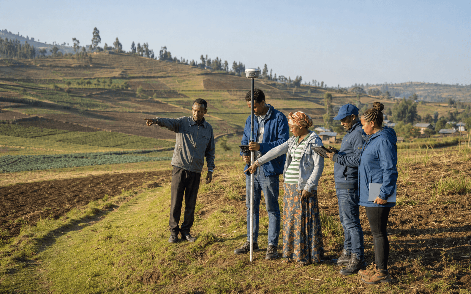
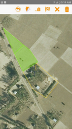
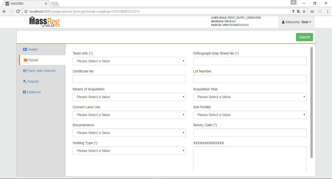
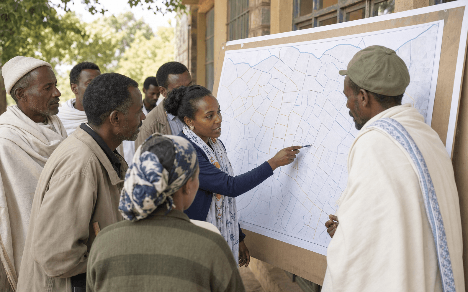
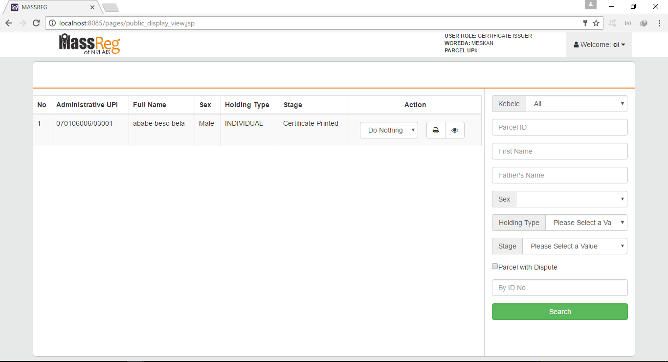
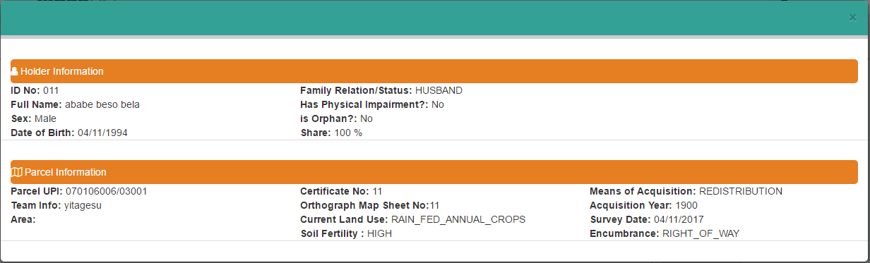
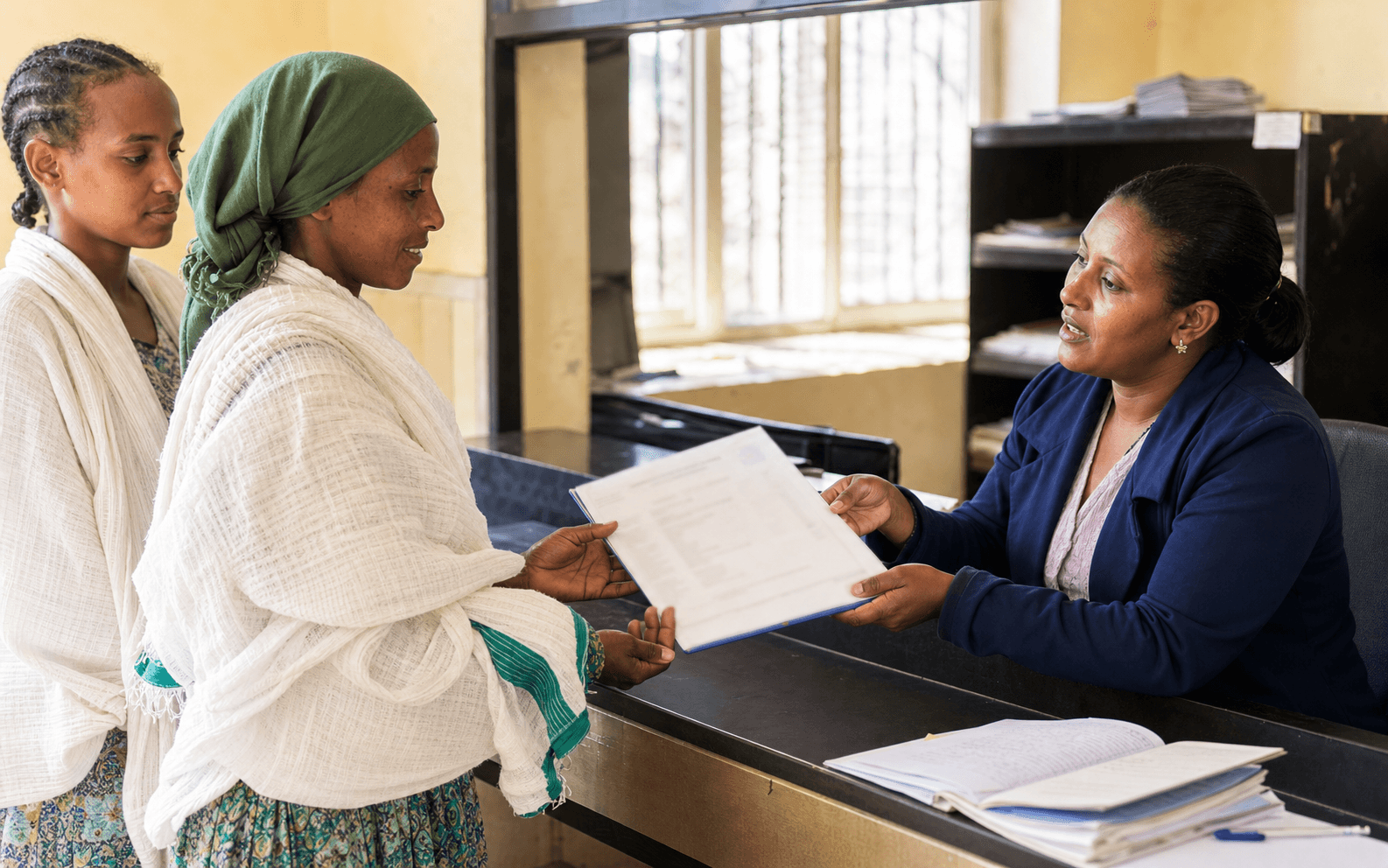
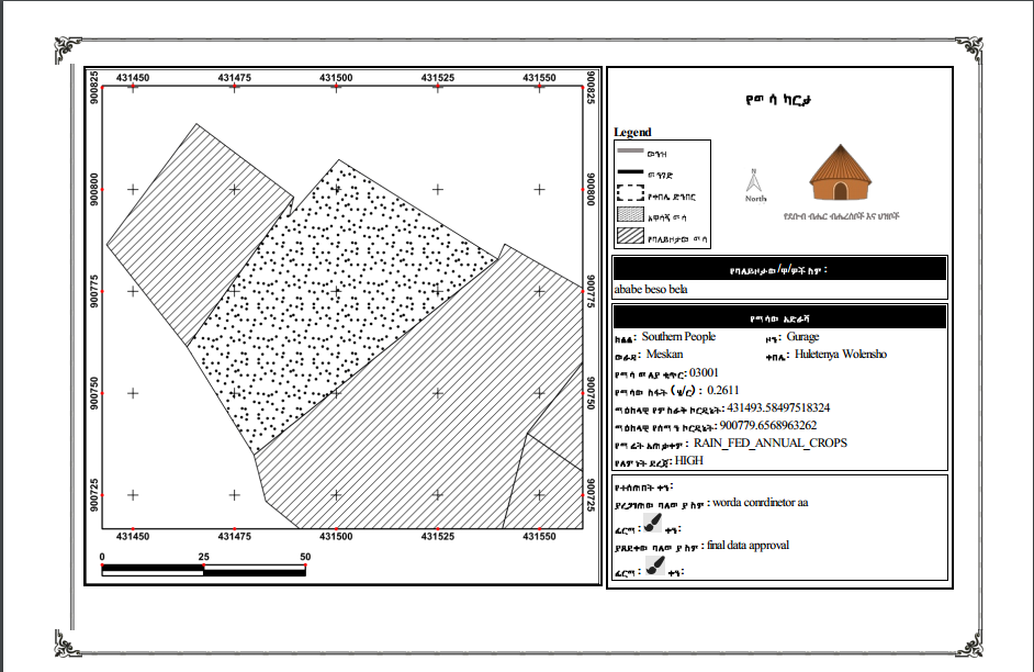
Field teams work with landholders and neighbors to identify the claimed boundary. MASSREG supports geometry capture alongside the names, rights, land use, evidence and field observations required for first registration. Validation begins at the point of entry so omissions can be corrected while the team is still on site.
- Primary responsibility
- Field surveyor, land administration officer, landholder and boundary witnesses.
- Process output
- A georeferenced draft parcel and a linked, reviewable claim record.